
Puno
Puno is located in the southern highlands of Peru, on Lake Titicaca. The Altiplano, Aymara and Quechua cultures, high Andes, islands, archaeological sites, and the Virgen de la Candelaria characterize one of the country's most unique departments.

Puno at a glance
Puno is located in southeastern Peru, bordering Bolivia. The department comprises 13 provinces and stretches from Lake Titicaca across high plains to the high Andes.
Puno in pictures
Lake Titicaca, floating islands, Taquile, Sillustani, and the city of Puno show how diverse the department is in a small area.


Puno is more than Lake Titicaca
The lake shapes the region's most famous image. At the same time, vast high plains, mountain ranges, livestock farming, trade, traditional textiles, and millennia-old cultures are also part of Puno.
History and Identity
Puno's history combines early highland cultures, the Inca Empire, colonial influences, and living Aymara and Quechua traditions to this day.
Pukara, Tiwanaku, and the Incas
Early Altiplano cultures left significant traces. Later, the area was integrated into the Inca Empire.
Aymara, Quechua, and Lived Tradition
Indigenous languages, textiles, music, and communal traditions continue to shape Puno today.
Colonial Era and Present
Colonial architecture and Catholic festivals merged with local traditions and regional expressions.
Cities and towns in Puno
Published place pages from the Department of Puno appear here.
1 of 1 place pages displayed

Juliaca
Bustling gateway to the Altiplano, a trade and transport hub, and a starting point for Lampa, Sillustani, Puno, and Lake Titicaca.
Open place page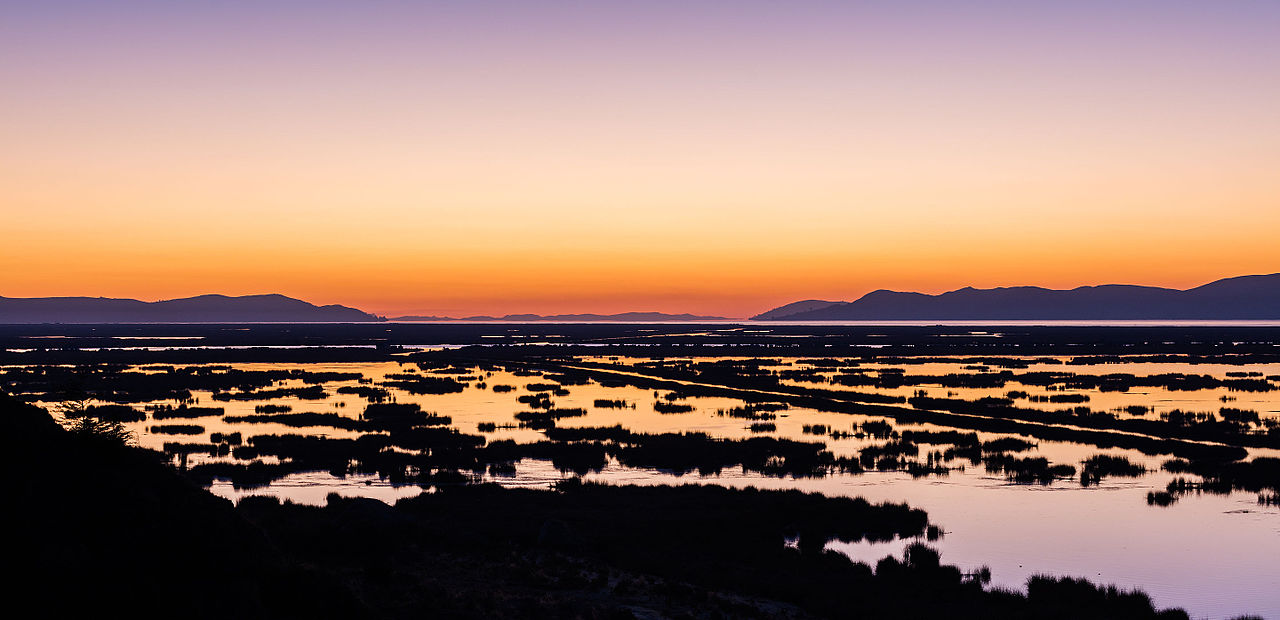
Landscape and Nature
Lake Titicaca, vast high plains, wetlands, and the high Andes define Puno's landscape. The high altitude causes significant temperature differences between day and night.
The Altiplano appears open and wide. Lakes, reed beds, mountain ranges, and high-altitude pastures create very diverse habitats.
Economy in Puno
Agriculture, livestock farming, trade, transport, and tourism characterize the department's economy.
Agriculture and Livestock
Potatoes, quinoa, and alpaca, llama, and sheep farming are important mainstays.
Trade and Transport
Juliaca is the department's most important trade and transport hub.
Tourism and Culture
The lake, islands, festivals, textiles, and archaeological sites generate income.
Attractions in Puno
Between Lake Titicaca, the Altiplano, and archaeological sites, Puno combines nature, history, and culture.
1 of 1 attraction displayed
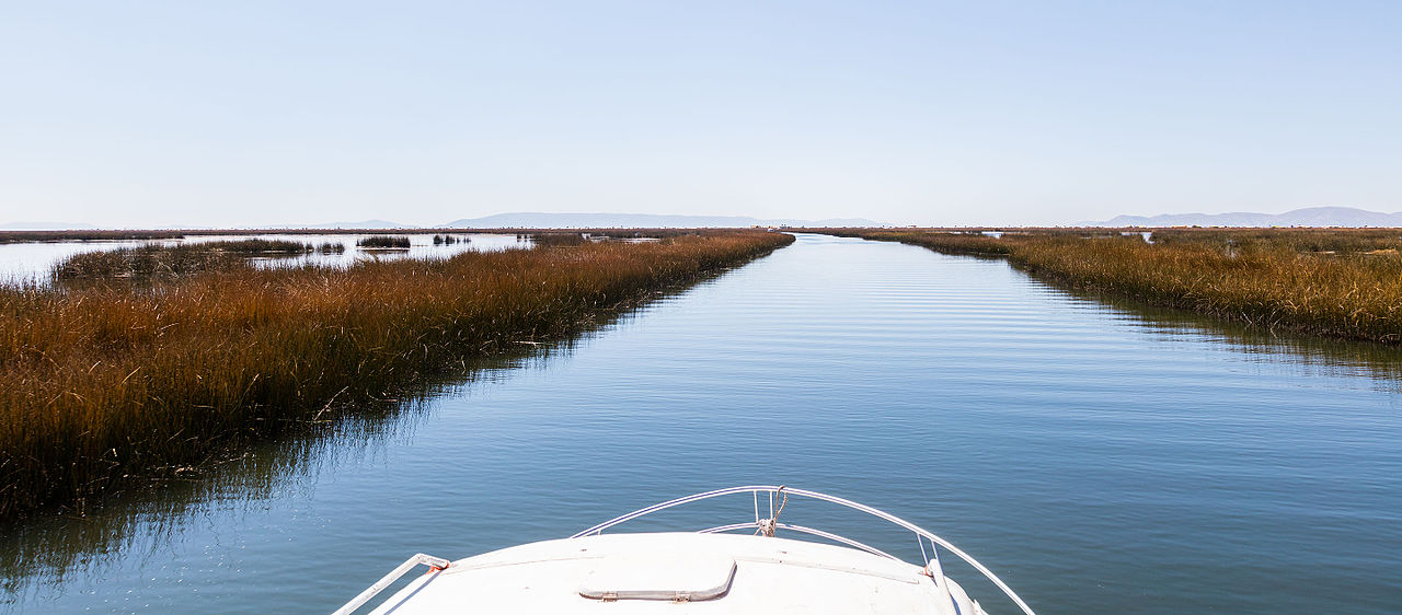
Lake Titicaca
The lake shapes the landscape, culture, and daily life in the Puno Department.
View details pageEvents in Puno
Traditional festivals, music, culture, and special dates guide you through the event calendar of the Puno Department.
Events are loading...
News from Puno
Current news on traffic, weather, culture, infrastructure, and developments in the department lead directly to the detailed reports.
News is loading...
Further through Southern Peru
Other departments will only be linked here once their respective pages are published.
PeruMagazin on WhatsApp
New destinations, events, and current news from Peru directly in the PeruMagazin channel.
FAQ for Puno Department
Where is Puno located?
Puno is located in southeastern Peru, on the border with Bolivia.
What is the capital of Puno?
The capital is the city of Puno on Lake Titicaca.
How many provinces does Puno have?
The department has 13 provinces.
What should one see in Puno?
Lake Titicaca, Uros, Taquile, and Sillustani are among the well-known destinations.
When is a good time to travel?
May to October are usually drier. Due to the high altitude, nights remain cold.
How to get to Puno?
Many travelers arrive via Juliaca and continue from there to Puno.
Sources and Image Credits
- INEI: Puno – Compendio Estadístico 2025 and population estimates 2025.
- PROMPERÚ: Travel information on Puno and Lake Titicaca.
- Lake Titicaca Puno Peru.jpg – Entropy1963, Public Domain, Wikimedia Commons.
- Ciudad de Puno.jpg – Antonio Gargate, CC BY-SA 3.0, Wikimedia Commons.
- Isla de los Uros, Puno.jpg – Ibrehaut, CC BY-SA, Wikimedia Commons.
- Taquile island in Lake Titicaca.jpg – H.dav.are, CC BY-SA 4.0, Wikimedia Commons.
- Chullpa Inka Sillustani.jpg – Milagros Mosqueira, CC BY-SA 4.0, Wikimedia Commons.
- Cathedral of Puno.jpg – Entropy1963, Public Domain, Wikimedia Commons.
- Amanecer en el lago Titicaca, Puno, Perú – Diego Delso, CC BY-SA 4.0, Wikimedia Commons.
- Lago Titicaca, Puno, Perú – Diego Delso, CC BY-SA 4.0, Wikimedia Commons.