
Huancavelica
The department of Huancavelica is located in the south-central Andean region of Peru. Highlands, deep valleys, lagoons, colonial history, and a strong Quechua tradition characterize the region.
Huancavelica at a glance
Huancavelica comprises seven provinces and is located between Junín, Ayacucho, Ica, and Lima. The capital city, Huancavelica, is situated at an altitude of approximately 3,679 meters.
Huancavelica in pictures
The city, colonial architecture, and highland landscapes showcase the diverse facets of the department.

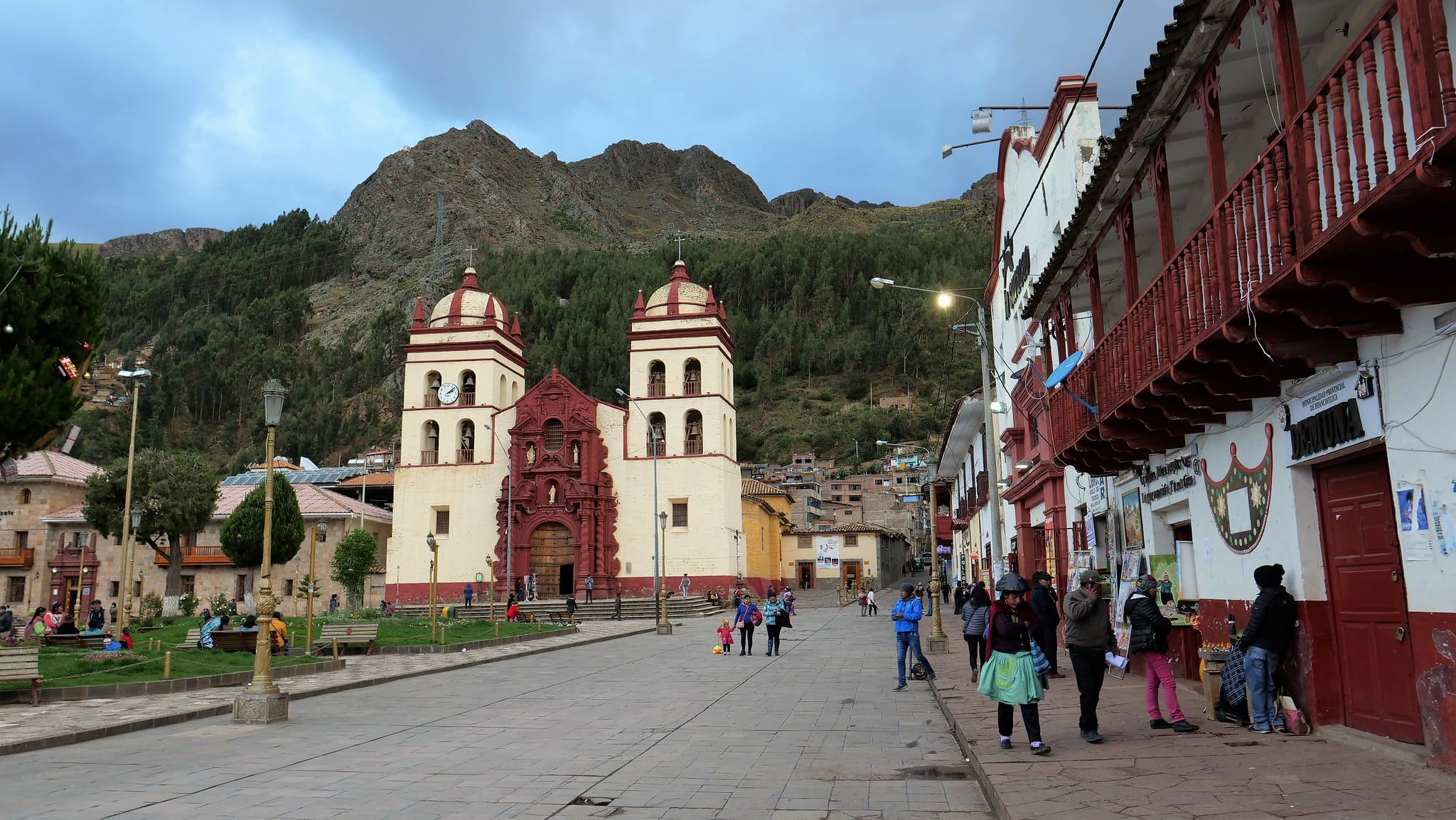
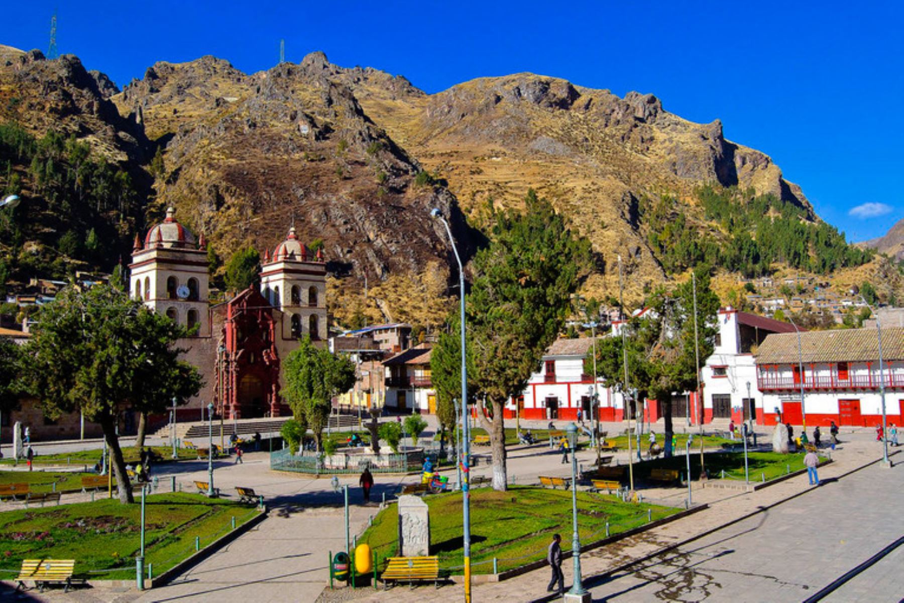
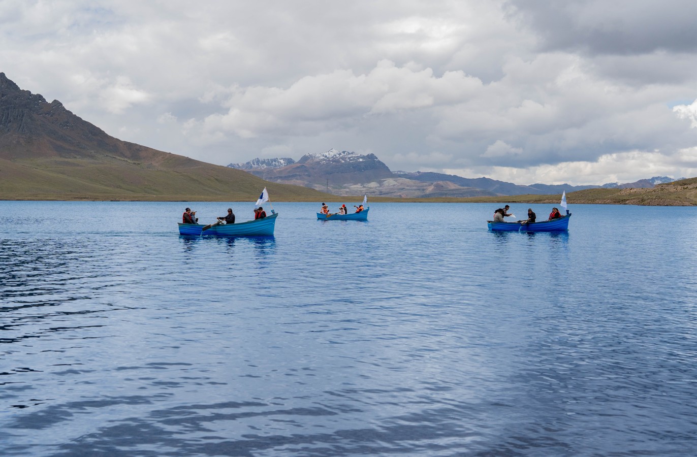

Huancavelica between Puna and deep valleys
The department extends from high-altitude Puna plains and mountain ranges to significantly deeper valleys. These altitudinal differences determine climate, agriculture, and transportation routes.
History and Identity
Huancavelica's history combines pre-Hispanic cultures, Inca trade routes, colonial mining, and a strong Andean identity that persists to this day.
Pre-Hispanic Cultures
Archaeological sites show a long settlement of the highlands. Later, the area was integrated into the Inca Empire and its road and administrative system.
Santa Bárbara and Mercury
The Santa Bárbara mine made Huancavelica a strategic mining center during the colonial era. Mercury was of great importance for silver extraction.
Quechua and Regional Culture
Quechua, rural communities, traditional festivals, music, and textiles continue to be part of the cultural identity. The capital also preserves colonial buildings.
Cities and towns in Huancavelica
Town pages from the seven provinces will be linked here directly after their publication.
Landscape and Nature
Huancavelica boasts a highly structured Andean landscape. Altitudes range from approximately 1,950 meters in valleys to over 5,000 meters on high peaks.
The Cordillera de Chonta, highland lagoons, Puna pastures, and river valleys characterize large parts of the region. The rainy season predominantly occurs between November and April.
Economy in Huancavelica
Agriculture, livestock farming, mining, energy, trade, and public services form important economic foundations.
Agriculture and Livestock Farming
Small-scale agriculture, as well as sheep, alpaca, and cattle farming, are important in many rural areas.
Mining and Energy
Mineral resources have shaped the region for centuries. Today, mining and energy continue to play a significant role.
Trade and Services
The capital bundles administration, trade, education, and services. Transport links towards Huancayo strengthen regional exchange.
Attractions in Huancavelica
Historic city districts, Santa Bárbara, rock landscapes, thermal springs, and archaeological sites are among the most important destinations.
Events in Huancavelica
Traditional festivals, cultural dates, and special events from the department.
News from Huancavelica
Current news and developments related to the department are bundled here.
PeruMagazin on WhatsApp
New travel destinations, events and current news from Peru directly in the PeruMagazin channel.
FAQ about the Huancavelica Department
Where is the Huancavelica Department located?
Huancavelica is located in the south-central Andean region of Peru. It borders Junín, Ayacucho, Ica, and Lima.
What is the capital of Huancavelica?
The capital is the city of Huancavelica, at an altitude of approximately 3,679 meters.
How many provinces does Huancavelica have?
The department consists of seven provinces: Huancavelica, Acobamba, Angaraes, Castrovirreyna, Churcampa, Huaytará, and Tayacaja.
What should one see in Huancavelica?
Well-known destinations include the historic center, the Santa Bárbara mine, thermal springs, rock landscapes, and archaeological sites.
When is a trip advisable?
For many highland destinations, the drier months from June to September are more favorable. Current weather and road conditions should be checked.
How does one get to Huancavelica?
Important road connections lead via Huancayo and Ayacucho. Additionally, a railway line connects Huancavelica with the Huancayo area.
Sources and image credits
- CEPLAN, 2025: Huancavelica – territorial planning, area, and provinces.
- INEI / JNE Infogob: Area, capital, administrative division, and population estimate.
- Municipalidad Provincial de Huancavelica: Geography, altitudinal zones, Cordillera de Chonta, and climate.
- Gobierno Regional Huancavelica: regional economic structure.
- Image credit: Diario Oficial El Peruano – aerial view of Huancavelica.
- Image credit: Agencia Andina – Cathedral of Huancavelica and landscape near Izcuchaca.
- Image credit: Viajeros Ocultos – Plaza de Armas Huancavelica.
- Image credit: El Comercio Perú – Andean landscape.
- Image credit: Gobierno Regional de Huancavelica – Laguna Orccococha.